Log in
All resources
Create a design
4,430 Free Artworks of Maps With View Images
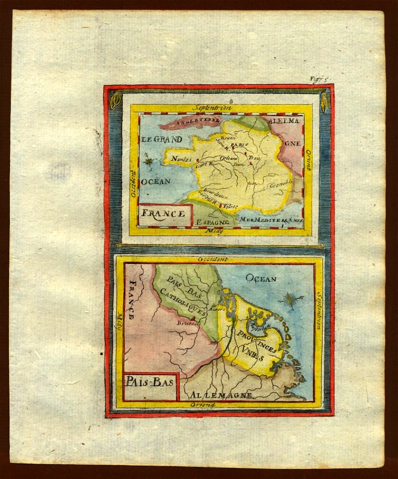
description de l'universe
alain manesson mallet
maps in the library of congress
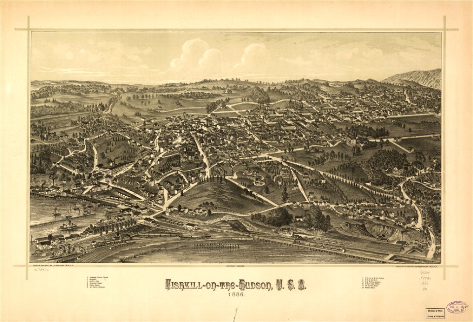
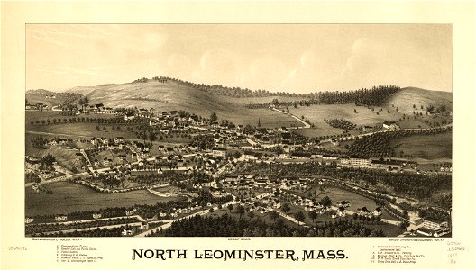
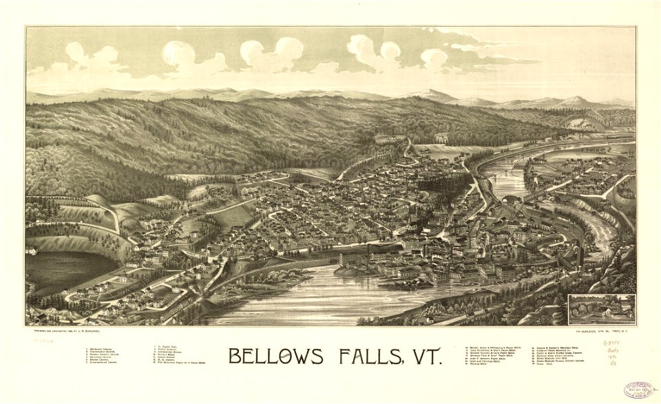
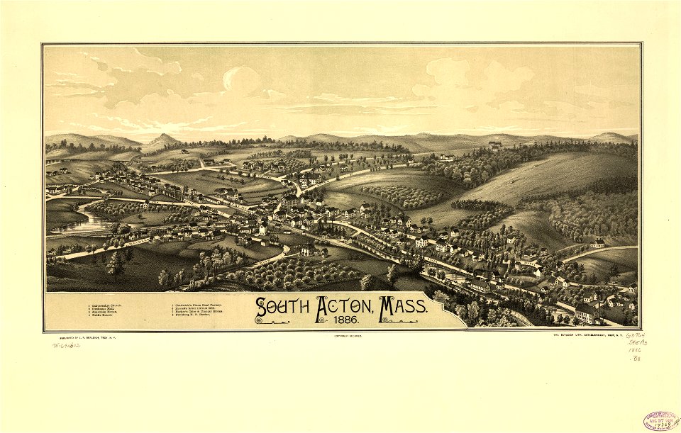
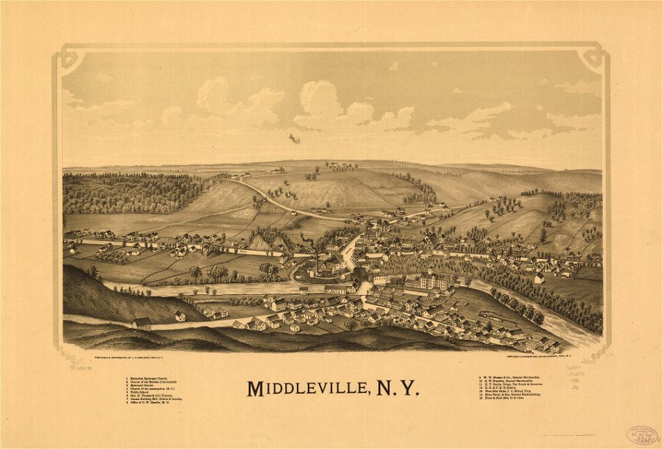
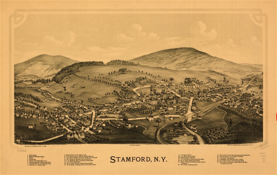
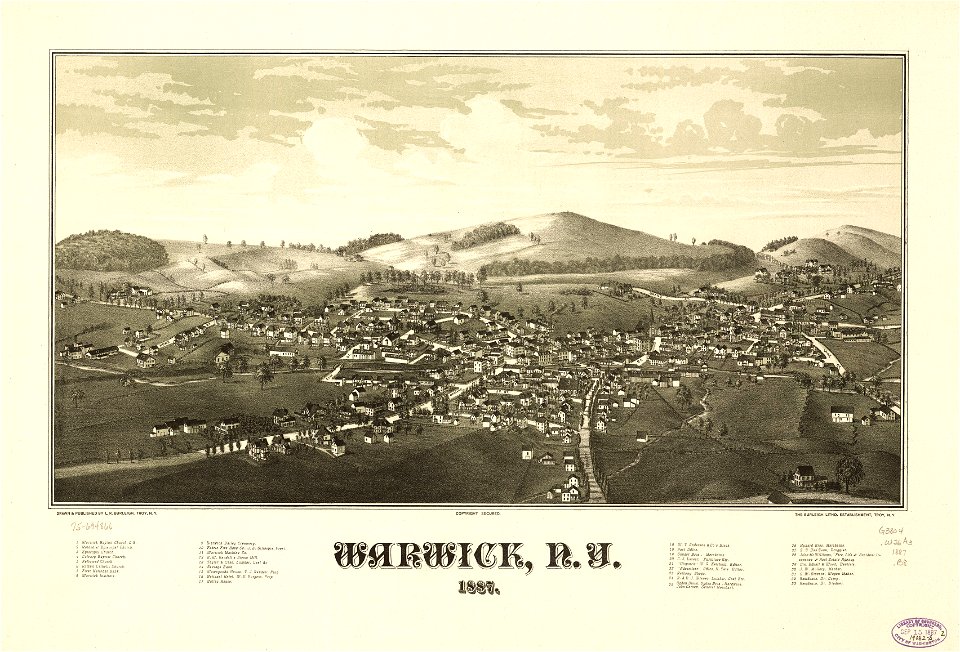
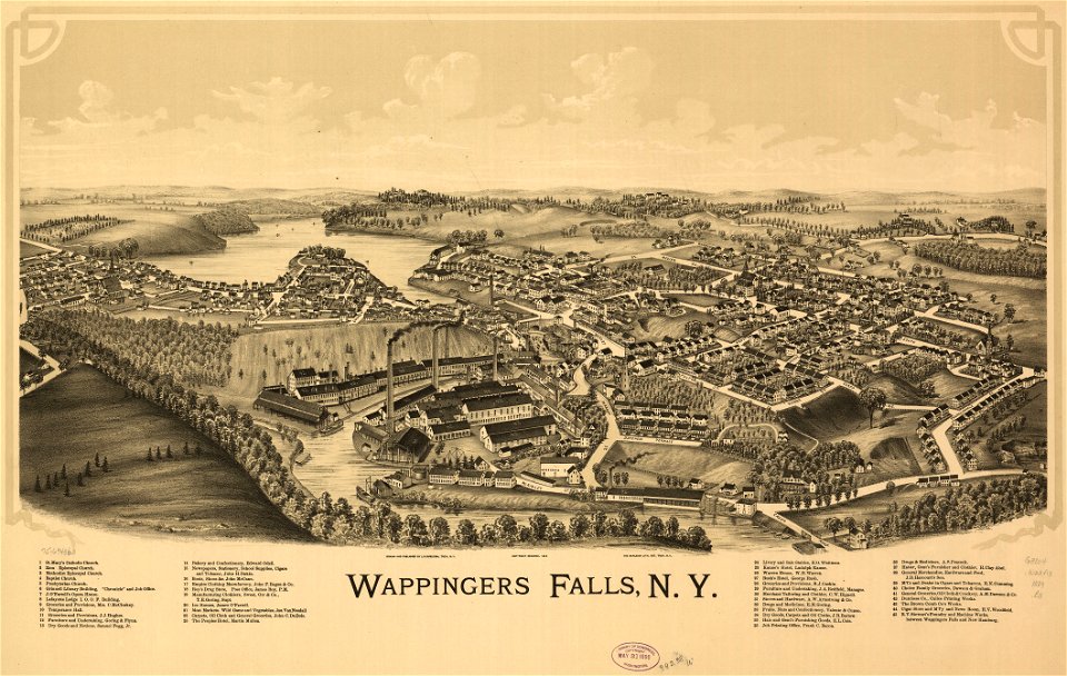
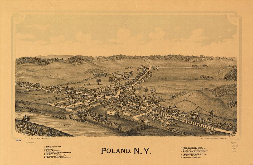
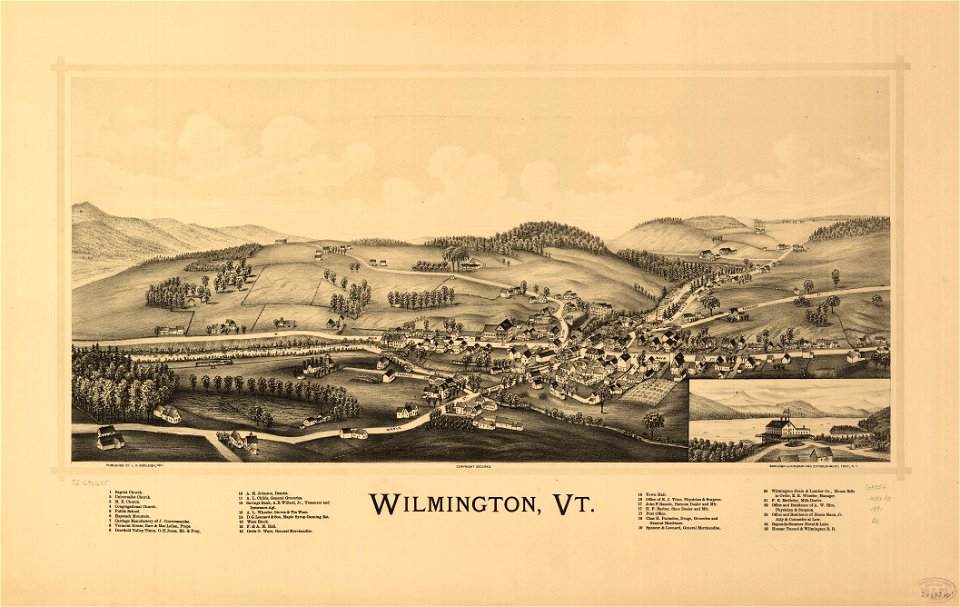
town maps by l. r. burleigh
l. r. burleigh
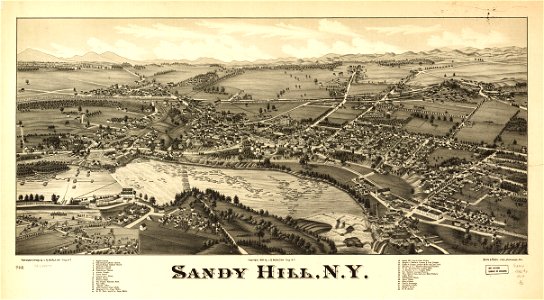
bird's eye view maps of new york (state)
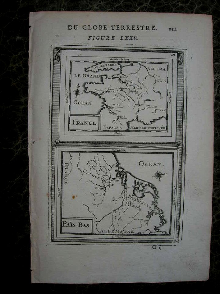
1685 maps of europe
zehn karten und ansichten den schlachtfelden des amerikanischen unabhängigkeitskreiges in den staaten pennsylvanien und new york
shober & carqueville lithographing company
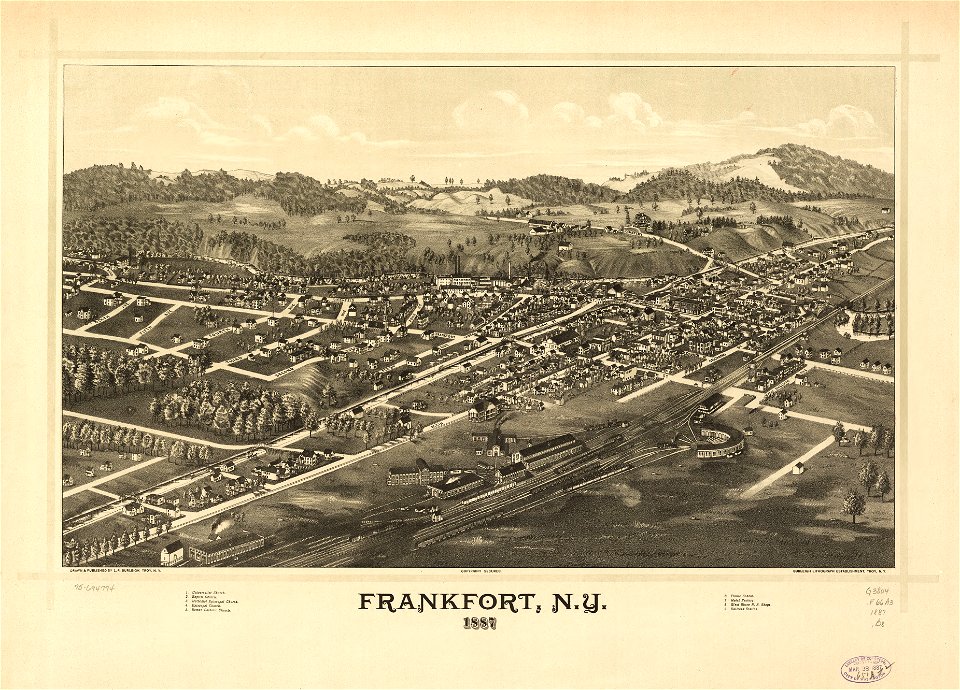
1887 maps of new york (state)
description de l'universe
1680s maps of england
maps in the library of congress
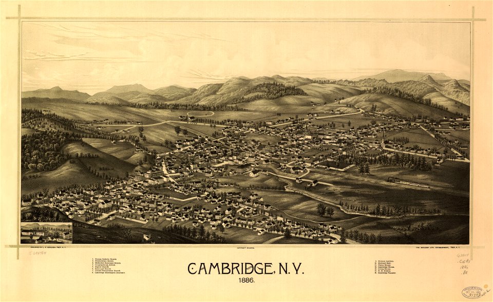
1886 maps of new york (state)
maps in the library of congress
1887 maps of massachusetts
maps in the library of congress
1886 maps of vermont
maps in the library of congress
1886 maps of massachusetts
maps in the library of congress
old maps of new york (state)
images of venice by jacopo de' barbari in the cleveland museum of art
details of images of venice by jacopo de' barbari
shober & carqueville lithographing company
maps in the library of congress
maps in the library of congress
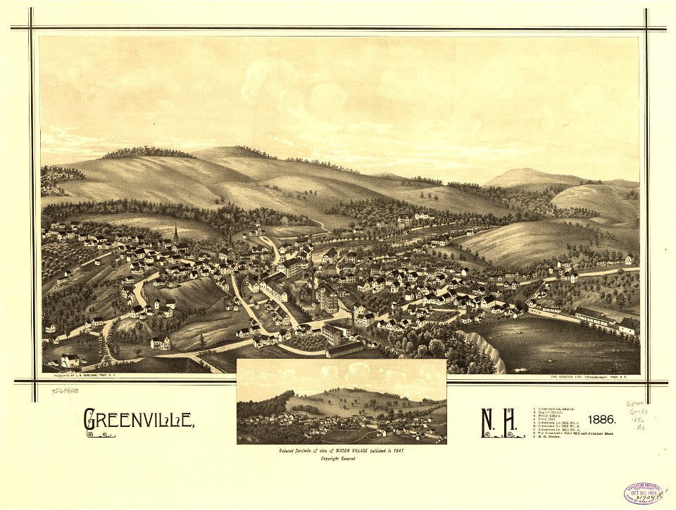
1886 maps of new hampshire
maps from the earth and its inhabitants, vol. x
19th-century maps of the sinai peninsula
maps in the library of congress
birds-eye view of seattle, 1884
political cartoons by james gillray
seymour dorothy fleming
maps in the library of congress
1886 maps of massachusetts
old maps of kea (cyclades)
description de l'universe
17th-century maps of central america
description de l'universe
maps in the library of congress
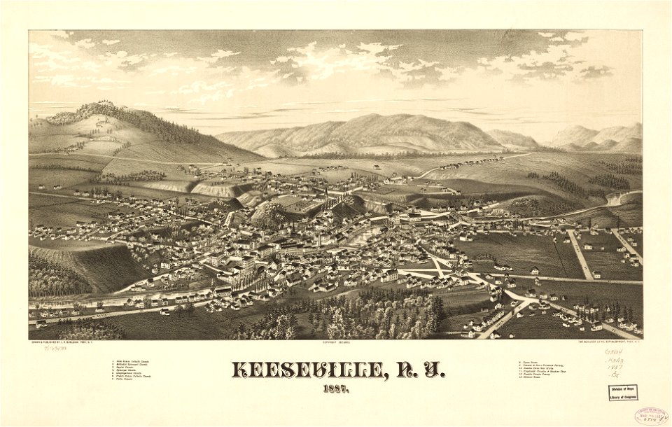
1887 maps of new york (state)
maps in the library of congress
1887 maps of new york (state)
maps in the library of congress
1890 maps of new york (state)
maps in the library of congress
1884 maps of new york (state)
maps in the library of congress
1890 maps of new york (state)
maps in the library of congress
1887 maps of new york (state)
maps in the library of congress
1889 maps of new york (state)
maps in the library of congress
1890 maps of new york (state)
maps in the library of congress
1891 maps of vermont
maps in the library of congress
1876 maps of pennsylvania
maps in the library of congress
bird's eye view maps of indiana
description de l'universe
1680s maps of england
18th-century maps of ireland
old maps of dublin
maps from the earth and its inhabitants, vol. xvi
1870s maps of mexico
zehn karten und ansichten den schlachtfelden des amerikanischen unabhängigkeitskreiges in den staaten pennsylvanien und new york
maps in the library of congress
zehn karten und ansichten den schlachtfelden des amerikanischen unabhängigkeitskreiges in den staaten pennsylvanien und new york
maps in the library of congress
maps of oceania and maritime southeast asia
maps of australasia
maps in the library of congress
1887 maps of new york (state)
maps in the library of congress
1885 maps of new york (state)
maps from the earth and its inhabitants, vol. vii
russian conquest of siberia
17th-century maps of puerto rico
description de l'universe
description de l'universe
old maps of newfoundland
historical images of havana
old maps of havana
maps in the library of congress
1889 maps of new york (state)
maps by jodocus hondius
1610 maps of europe
17th-century maps of the iberian peninsula
description de l'universe
topographia bohemiae moraviae et silesiae (merian)
baroque
description de l'universe
old maps of patmos
description de l'universe
1680s maps of germany
description de l'universe
1680s maps of ireland
maps in the library of congress
1863 maps
maps from the earth and its inhabitants, vol. xi
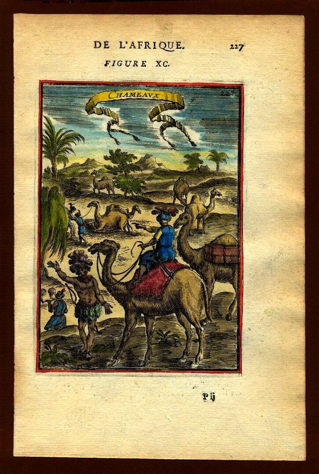
french west africa
tinted lithographs in the british museum
victorian architecture
tinted lithographs in the british museum
victorian architecture
merian mainz trier köln
baroque
maps in the library of congress
1750s maps of cuba
maps in the library of congress
1639 maps
maps from the earth and its inhabitants, vol. viii
maps of turkestan
maps from the earth and its inhabitants, vol. viii
maps of turkestan
maps from the earth and its inhabitants, vol. iv
maps of river trent
17th-century maps of france
description de l'universe
17th-century maps of france
description de l'universe
old maps of whole wales (alone)
description de l'universe
1680s maps of baden-württemberg
description de l'universe
1680s maps of lower saxony
description de l'universe
17th-century maps of the iberian peninsula
description de l'universe
description de l'universe
1680s maps of scotland
description de l'universe
1680s maps of ireland
17th-century maps of france
description de l'universe
17th-century maps of italy
description de l'universe
description de l'universe
old maps of karpathos
curt teich postcard archives
postcards of oklahoma
maps in the library of congress
birds-eye view of seattle, 1884
images of egypt in the brooklyn museum
historical images of kalabsha temple
description de l'universe
old maps of scotland
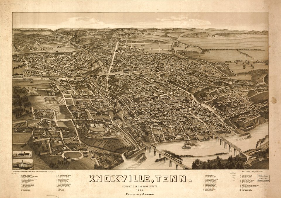
bird's eye view of knoxville, tennessee, 1886
maps in the library of congress
old maps of tierra del fuego
description de l'universe
17th-century maps of south america
description de l'universe
17th-century maps of cape verde
art of cape verde
curt teich postcard archives
map postcards
maps in the library of congress
1960 maps of africa
maps in the library of congress
1880 maps
maps in the library of congress
1877 maps of the united states
1890s maps of the philippines
old maps of papua new guinea
maps from the mechanical curator collection
1760
description de l'universe
man in the moon
description de l'universe
africa in art
description de l'universe
mythological cetaceans
description de l'universe
corals
description de l'universe
1685 in spain
description de l'universe
history of chile
description de l'universe
history of madrid
old maps of douarnenez
old maps of brest
description de l'universe
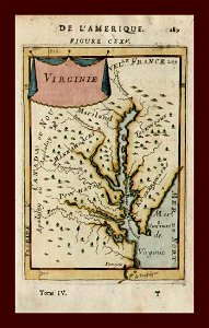
old maps of virginia
description de l'universe
old maps of greece
description de l'universe
old maps of andros
description de l'universe
old maps of greece
british library king's topographical collection
william henry toms
maps from the earth and its inhabitants, vol. vii
charles eugène perron
zehn karten und ansichten den schlachtfelden des amerikanischen unabhängigkeitskreiges in den staaten pennsylvanien und new york
maps in the library of congress
zehn karten und ansichten den schlachtfelden des amerikanischen unabhängigkeitskreiges in den staaten pennsylvanien und new york
maps in the library of congress
zehn karten und ansichten den schlachtfelden des amerikanischen unabhängigkeitskreiges in den staaten pennsylvanien und new york
maps in the library of congress
zehn karten und ansichten den schlachtfelden des amerikanischen unabhängigkeitskreiges in den staaten pennsylvanien und new york
maps in the library of congress
description de l'universe
prints of ships
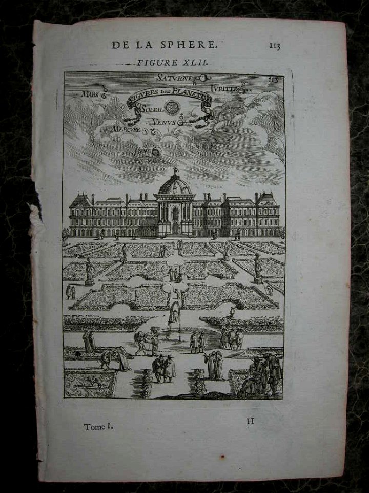
description de l'universe
jardin des tuileries
101 - 200 of 4,430
Next page
/ 45